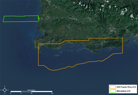
Southwest Puerto Rico
For more information about the project or additional project publications, visit the Research Project Page
This project began in January 2010 and was completed in December 2012. We mapped the shallow-water benthic habitats of two areas off southwest Puerto Rico. This effort improves on previous NOAA benthic habitat maps by using more recent imagery, a smaller minimum mapping unit, and a refined classification scheme. The new maps will support ongoing conservation and management efforts in the region, including restoration of Guánica Bay. For more information about this projects data contact Laurie Bauer or John Christensen.

Report
Data, Maps and Imagery
- Benthic Habitat Map - ESRI shapefiles representing the benthic habitats mapped in SWPR.
- Ground Validation (GV) Sites - ESRI shapefiles denoting the location of underwater photos and videos collected to produce the SWPR benthic habitat map.
- Accuracy Assessment (AA) Sites - ESRI shapefiles denoting the location of underwater photos and videos collected to evaluate the thematic accuracy of the SWPR benthic habitat map.
Tools